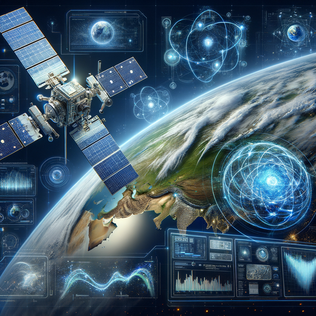
Transforming Remote Sensing with AI: A Quantum Leap in Precision
Imagine a world where we can observe Earth and other planetary bodies with pinpoint accuracy, transcending the limitations of atmospheric interference. This dream is becoming a reality, thanks to groundbreaking advancements in artificial intelligence.
The Challenge of Atmospheric Interference
When satellites capture images of Earth, they record reflected energy from the Sun. However, as sunlight traverses the atmosphere, it interacts with various components like water vapor, ozone, and temperature variations. These interactions often distort the spectral data received by satellites.
Conventional methods for correcting this atmospheric distortion include dark object subtraction and empirical line calibration. While useful, they don’t fully account for the complex dynamics of atmospheric interactions.
A New Hope: Physics-Informed Machine Learning
James Koch, a data scientist at the Pacific Northwest National Laboratory (PNNL), has developed a revolutionary method to tackle this issue using physics-informed machine learning. This technique combines the principles of physics with the power of Artificial Intelligence, leading to unprecedented accuracy in remote sensing.
Example: When observing regions with high variability in atmospheric conditions, Koch’s method can dynamically adapt, generating precise atmospheric transmission profiles in real time.
From Theory to Practice
Supported by the National Security Directorate’s Laboratory Directed Research and Development portfolio, Koch’s method promises to elevate PNNL’s remote exploration capabilities to new heights. This innovative approach was recently showcased at the International Geoscience and Remote Sensing Symposium in Athens, Greece.
![]()
Generating Atmospheric Profiles with AI
Traditional methods rely heavily on having detailed atmospheric transmission profiles, which can be challenging to obtain due to the atmosphere’s complexity. Koch’s AI technique, however, can infer these profiles on the fly, reducing the need for extensive prior knowledge.
The Power of Physics-Informed Constraints
The core of Koch’s model lies in the constraints of differential equations, which he refers to as the “secret sauce.” These constraints guide AI predictions by grounding them in fundamental physical laws, enhancing both the accuracy and reliability of remote sensing data.
Training and Application
To train the machine learning model, Koch used spectral data from overhead imagery of Cook City, MT. This dataset included diverse spectral signatures, such as those from vehicles, allowing the model to learn how to infer atmospheric profiles and perform corrections automatically.

Bidirectional Capabilities and Broader Implications
A unique feature of Koch’s model is its bidirectional capability. It can handle atmospheric correction and predict how different atmospheric conditions affect the appearance of materials or objects. This opens up new possibilities in fields such as environmental monitoring, disaster management, and beyond.
For instance, during a disaster, accurate atmospheric correction can be crucial for timely and effective response. Koch’s model can provide high-precision data even in rapidly changing conditions, making it a valuable tool for emergency responders.
A Paradigm Shift in Remote Sensing
The integration of AI into remote sensing marks a paradigm shift in how we observe and understand our world. This transformative capability enhances scientific research and provides more effective solutions for real-world problems.
Future Prospects and Applications
Koch’s method exemplifies how AI can drive significant advancements in technology, making remote sensing more accessible and cost-effective. By reducing the reliance on extensive data and prior knowledge, this approach democratizes the use of remote sensing for various applications.
As AI continues to evolve, its role in enhancing observational accuracy and efficiency will become increasingly critical. From environmental conservation to urban planning and beyond, the impact of AI-driven remote sensing will be profound.
Join the Conversation
What do you think about the potential of AI to revolutionize remote sensing? Could such advancements change how we approach environmental monitoring and disaster management? Share your thoughts in the comments below!
Related Links: